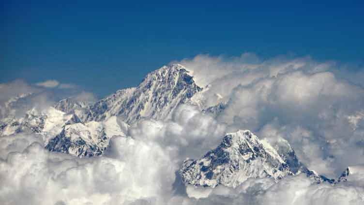
Summary Scientists explain Mount Everest's anomalous growth
(Reuters) - Mount Everest is Earth's tallest mountain - towering 5.5 miles (8.85 km) above sea level - and is actually still growing.
While it and the rest of the Himalayas are continuing an inexorable uplift that dates back to their birth roughly 50 million years ago when the Indian subcontinent collided with Eurasia, Everest is growing more than expected from this alone. Scientists now think they know the reason why, and it has to do with the monumental merger of two nearby river systems.
Everest has gained roughly 49-164 feet (15-50 meters) in height due to this change in the regional river system, with the Kosi river merging with the Arun river approximately 89,000 years ago, the researchers estimated. That translates to an uplift rate of roughly 0.01-0.02 inches (0.2-0.5 millimeters) per year.
The geological process at work, they said, is called isostatic rebound. It involves the rise of land masses on Earth's crust when the weight of the surface diminishes. The crust, Earth's outermost layer, essentially floats atop a mantle layer made of hot, semi-liquid rock.
"Isostatic rebound can be likened to a floating object adjusting its position when weight is removed," said geoscientist Jin-Gen Dai of China University of Geosciences in Beijing, one of the leaders of the study published on Monday in the journal Nature Geoscience, opens new tab.
Here on the grounds of El Cosmico, a 21-acre hotel and campground, an industrial-sized 3D printer is extruding layer after layer of concrete mixture to form the walls of two new model units.
"When a heavy load, such as ice or eroded rock, is removed from the Earth's crust, the land beneath slowly rises in response, much like a boat rising in water when cargo is unloaded," Dai added.
The main gorge of the merged river system is located approximately 28 miles (45 km) east of Everest.
The researchers, who used numerical models to simulate the evolution of the river system, estimated that isostatic rebound accounts for about 10% of Everest's annual uplift rate.
This geological process is not unique to the Himalayas.
"A classic example is in Scandinavia, where the land is still rising in response to the melting of thick ice sheets that covered the region during the last Ice Age. This process continues today, affecting coastlines and landscapes, thousands of years after the ice retreated," Dai said.
Study co-author Adam Smith, a University College London doctoral student in Earth sciences, said GPS measurements reveal the continued rising of Everest and the rest of the Himalayas.
This uplift outpaces the continued surface erosion caused by factors such as wind, rain and river flow. As this erosion continues, Everest's uplift rate from isostatic rebound may increase, Smith said.
Neighboring peaks including Lhotse, the world's fourth highest, and Makalu, the fifth highest, also get a boost from the same process. Lhotse is experiencing an uplift rate similar to Everest. Makalu, situated closer to the Arun, has a slightly higher uplift rate.