Summary The researchers believe that the mountainous layer could be formed of piled up slabs
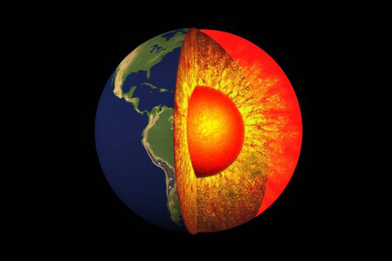
In 1994, a huge 8.2 magnitude earthquake struck a sparsely populated region in Bolivia at a depth of around 400 miles below sea level. Now, an international team of scientists has analyzed data from this event—and they’ve uncovered previously unidentified “mountains” deep within the Earth s interior.
That earthquake—the second largest deep quake ever recorded—shook the planet like a bell, sending out shockwaves that bounced off the planet’s inner topography and left their tell-tale data scattered on seismographs around the world.
The researchers believe that the mountainous layer could be formed of piled up slabs of seafloor that sunk down through the mantle intact after breaking off from the earth’s crust as it slid under the continental plates—helping answer a long-debated question.
The study, published in Science, showed that there was a “rough” boundary at the base of a 100 mile-thick layer that sits between two major layers of the earth known in most textbooks as the upper and lower mantle.
While the scientists were not able to conduct precise measurements of the height of this terrain, they suggest that these mountains could potentially be bigger than anything similar on the Earth’s surface.