Historic 'Frankenstorm' threatens US East Coast
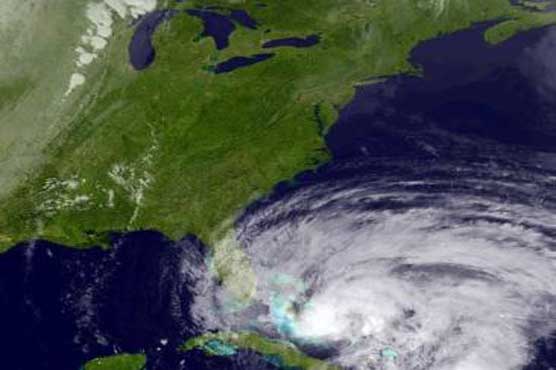
Experts predict at least $1 billion in damage.

Experts predict at least $1 billion in damage.
