Updated on
Summary The new tool was created by Carnegie Mellon University, Google and the U.S. Geological Survey.
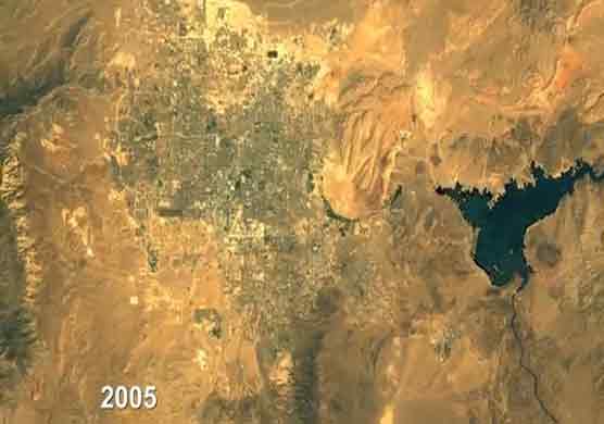
A new online tool allows people to access many of the images taken by NASA satellites over the last 13 years and to look at time-lapse videos of changes on the earths surface, such as deforestation and urban sprawl.This new capability within the Google Earth Engine enhances the publics ability to view the massive amount of imagery collected by NASAs Landsat program between 1999 and 2011. Users can zoom in or out on any spot on the globe and move back and forth in time.